The explosive technological growth that we've witnessed over the past few decades has set the stage for the development of smart cities, whose purpose is to empower citizens in urban areas through various services. By sensing the inside and/or outside of various urban spaces, smart cities can help with tasks such as routing, logistics, traffic management, crime prevention, and many more.
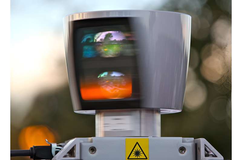
The capabilities and services provided by a smart city are, however, tightly linked to two major applied fields: sensing and telecommunications. Recent efforts have focused on the use of multiple LIDAR devices in sensor networks, which can collect real-time 3D data on the position of solid bodies, such as people, vehicles, and robots. Despite substantial progress in multi-LIDAR sensor networks for outdoor use, their indoor counterparts still face critical challenges that need to be addressed.
In a study published in IEEE Sensors Journal on 22 June 2023, researchers from Japan sought out an innovative solution to one of the main hurdles to indoor multi-LIDAR networks: operating a large number of sensors while constrained by a limited and fluctuating bandwidth. This study was conducted by Ph.D. student Kuon Akiyama, Kenta Azuma, and Ryoichi Shinkuma from Shibaura Institute of Technology, as well as Jun Shiomi from Osaka University.
To clarify the issue at hand, it helps to know that indoor multi-LIDAR networks typically need a greater number of sensors than outdoor ones. Whereas four or five sensors can suffice in an outdoor setting to cover for blind spots, ten or more sensors are required in indoor networks because their placement is limited by ceilings and other obstacles. Since indoor multi-LIDAR networks also rely on wireless communication between each sensor and a central edge computer, shared bandwidth problems can arise if there are surges in traffic.
The research team addressed this problem by implementing a system capable of adaptive control of the data volume sent by each sensor. In their design, each LIDAR unit is connected to a sensor control device, which grabs, buffers, and transmits the data to an edge computer. The computer constantly monitors and aggregates the data streams from each sensor, carefully inspecting their latency and jitter.
Most importantly, if the computer detects large delays from a given sensor (which can happen due to network or bandwidth problems), the sensor is instructed to adjust the data volume it transmits. For this purpose, each sensor carries a filter that can increase or reduce the size of the point cloud transmitted based on the "importance" of each region in 3D space, which is predetermined by the administrator for each specific use case. By discarding the least important points from sensors experiencing bandwidth limitations, the quality of the aggregated point cloud can be preserved as much as possible.
The researchers tested their system in two experimental indoor environments under a variety of conditions. "The proposed design was evaluated with various load patterns from 100 to 200 MB/s, including dynamic loads that differed in size minute to minute," explains Akiyama.
"We found that our system was able to satisfy delay requirements and receive highly important points even if the network was under dynamic load. This suggests that our approach is effective when an object moves within the monitoring area and when the available network bandwidth varies, regardless of the physical speed of wireless communication."
One of the main use cases for multi-LIDAR sensor networks, both indoor and outdoor ones, is creating virtual replicas of the real world, called digital twins.
"A sensor network with a large number of LIDAR sensors can be leveraged to construct a digital twin that covers a wide area. Such extensive digital twins could be continuously updated in real time to capture the movements of people, vehicles, and mobile robots to optimize autonomous driving systems," highlights Akiyama.
"These optimizations could improve safety and efficiency of autonomous mobility while saving reducing costs."
Further efforts in this field will help accelerate the advent of smart cities and all their benefits, making urban spaces better places to live.
More information: Kuon Akiyama et al, Real-Time Adaptive Data Transmission Against Various Traffic Load in Multi-LIDAR Sensor Network for Indoor Monitoring, IEEE Sensors Journal (2023). DOI: 10.1109/JSEN.2023.3287183
Citation: Towards smart cities: Adaptive multi-LIDAR sensor networks for indoor use (2024, August 5) retrieved 5 August 2024 from https://techxplore.com/news/2024-08-smart-cities-multi-lidar-sensor.html
This document is subject to copyright. Apart from any fair dealing for the purpose of private study or research, no part may be reproduced without the written permission. The content is provided for information purposes only.
