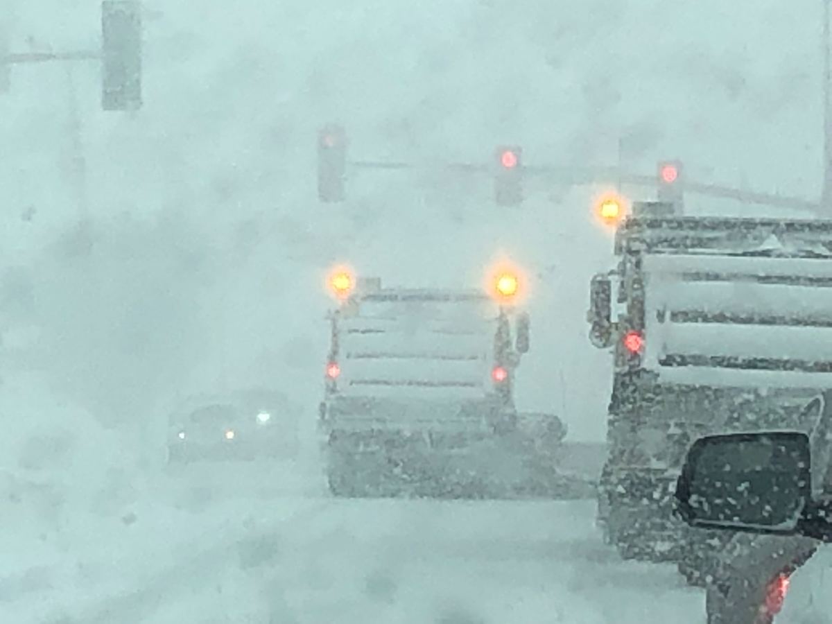
Just as Minnesotans dig out of one snowstorm, another is on the way and the National Weather Service has issued a winter storm watch in advance of the approaching weekend storm.
The winter storm watch includes a sizable chunk of central Minnesota and all of northwest Minnesota, stretching from the border with the Dakotas all the way through the Twin Cities metro area to the Wisconsin border.
"A Winter Storm Watch is in effect from Friday evening through Saturday morning north of a line from Canby, Minnesota, to Red Wing, Minnesota; and from Friday evening through Sunday morning north of a line from Morris, Minnesota, to Eau Claire, Wisconsin. Snow, rain, and freezing rain will develop Friday afternoon before transitioning to mostly snow Friday night.
Temperatures will warm Saturday, allowing the snow to turn to a mix of rain and snow or all rain south of Morris to Eau Claire. This transition should allow conditions to improve quickly. North of that line, it appears snow will be the likely precipitation type from Friday night through Sunday morning. Significant amounts of snow could accumulate in these areas, possibly over a foot. Gusty east winds Friday night and early Saturday may produce some patchy blowing snow as well."
Overall, between Friday night and Saturday morning, "heavy wet snow" is possible with "total snow accumulations of 6 inches possible" for everyone in the watch area. Gusty winds up to 40 mph are also possible.
But areas further northern, including the following counties, could get 12+ inches of snow: Douglas, Todd, Morrison, Mille Lacs, Kanabec, Stevens, Pope, Stearns, Benton, Sherburne, Isanti, Chisago, Polk, Barron, Rusk, and Chippewa.
Here's a look at the future radar simulation from the European weather model. The blue colors represent snow, while pink, purple and reds being a mix or freezing rain, with green being all rain.
Stay tuned for updates.


