There are many things to be thankful on Thanksgiving. This year, the weather for most of the U.S. is not one of them.
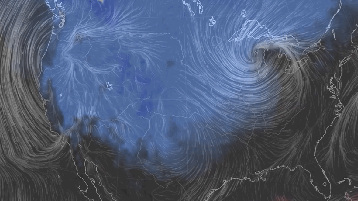
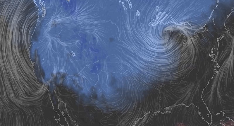
Two sprawling storm systems will wreak havoc on both coasts. In Northern California, a rare-for-the-region bomb cyclone is sliding ashore on Wednesday while a series of high and low pressure systems will crank up winds in the Midwest and Northeast. The whole morass of weather is already snarling flights and could leave folks celebrating Thanksgiving at the airport.
Let’s start on the West Coast where a bizarre cyclone bombed-out overnight on Tuesday just offshore. The West Coast is no stranger to big storm systems, but they usually come courtesy of atmospheric rivers that tap moisture in the tropics and send it streaming ashore. This storm structure is a bit different, with winds swirling around an area of low pressure. On Tuesday night, the storm intensified and pressure dropped 43 millibars in 24 hours. That more than meets the official definition of a bomb cyclone, which is defined by a 24 millibar drop over that time period.
The plummeting low pressure system nudged its way ashore Tuesday night into Wednesday morning. As it did, it also set an unofficial record for the lowest pressure ever recorded in California according the National Weather Service. Winds in coastal Oregon cranked as high as 106 mph, the equivalent of a Category 2 hurricane, on Tuesday night as the storm slammed into the coast.
Conditions will deteriorate inland from Seattle to the Los Angeles throughout the day and into Thanksgiving. Rain will soak the valleys while mountain snow is forecast for the Sierra Nevada and Cascade ranges where multiple feet could fall. The storm will sprawl into the Mountain West into the weekend where winter storm watches are already in effect. The whole thing is good news for holiday ski vacation but bad news for travel as roads will become slick and airports are likely to experience delays.
That’s in addition to the dozens of flights already canceled in the Midwest, which has been walloped by a major snowstorm sliding eastward. Minneapolis picked up more than eight inches of snow on Tuesday, which also helped the city top its record for wettest year with a month left to go. It continues a string of early season storms that have struck the region.
As the storm slides eastward toward an area of high pressure over the Atlantic. The pressure difference will cause winds that are already cranking over the Midwest to gust across the Northeast as well. High wind warnings issued by the National Weather Service call for gusts of up to 60 mph. The agency has also issued flood warnings along the Great Lakes where “high lake levels and significant wave action will result in lakeshore flooding.”
Basically, most of the U.S. will be dealing with some form of craptastic weather over the next few days, giving everyone more time to sit around the kitchen table and go stir crazy spending excessive amounts of time with family.

